|
| *****SWAAG_ID***** | 310 |
| Date Entered | 04/11/2011 |
| Updated on | 04/11/2011 |
| Recorded by | Tim Laurie |
| Category | Tree/Shrub Record |
| Record Type | Botanical HER |
| Record Date | 16/11/2010 |
| Location | Carlton Highdale CP. Waterfall Ravine below Great Hunter\'s Stone Bank. |
| Civil Parish | Carlton Highdale |
| Brit. National Grid | SD 9995 7771 |
| Altitude | 370m |
| Geology | Stream cut ravine through Main Limestone and underlying shales. |
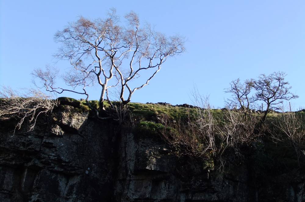
| Record Name | Wensleydale. Coverdale. Downy Birch at top edge of limestone cliff below Falls. |
| Record Description | Downy Birch at top edge of cliff, with ash, hazel, bird cherry and wych elm. |
| Dimensions | N/A |
| Geographical area | Wensleydale |
| Species | Downy Birch |
| Scientific Name | Betula pubescens |
| Tree and / or Stem Girth | 3m |
| Tree: Position / Form / Status | Multi stem, stunted. Notable tree. |
| Tree Site ID | 309 |
| Image 1 ID | 1161 Click image to enlarge |
| Image 1 Description | Downy birch at top edge of limestone cliff below falls. |  |
| Image 2 ID | 1162 Click image to enlarge |
| Image 2 Description | | 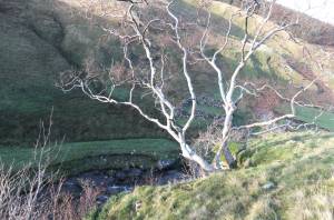 |
| Image 3 ID | 1163 Click image to enlarge |
| Image 3 Description | | 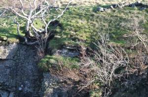 |